
Precision Today. Stronger Tomorrow

We provide precise and dependable surveying solutions for construction, infrastructure, and development projects using modern equipment and experienced professionals.

Survey & GPR Services

Ground Trace Company delivers high-accuracy subsurface and land surveying solutions across Saudi Arabia.

120+

Team members

Construction

Special Projects

Request a free quote now

Years of experiences
0 +

About us

Your Vision, Built on Precision.

We specialize in delivering dependable data for construction, infrastructure, and development projects by combining industry expertise with state-of-the-art technology. Committed to safety and excellence, we empower engineering teams to design and build with complete clarity and absolute confidence.

20+

Services year

15+

Award received

30+

Projects completed

8k

Earning year

OUR POPULAR SERVICES

World Best Services We Provide

From the surface to the subsurface, Ground Trace Company provides a comprehensive suite of surveying solutions.
Topographic Surveys

Topographic Surveys

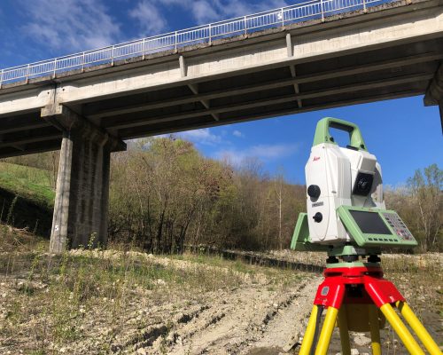
We map land features, elevations, and contours, providing essential terrain data required for accurate site planning and civil engineering design.

Ground Penetrating Radar3

Ground Penetrating Radar

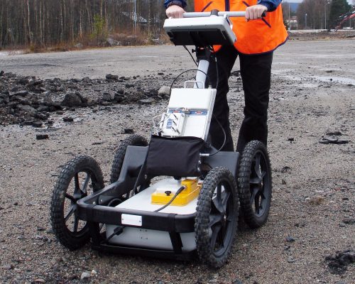
Utilizing advanced radar pulses, we safely image the subsurface to locate buried structures, concrete voids, and hidden geological features.

Utility Detection & Mapping1

Utility Detection & Mapping

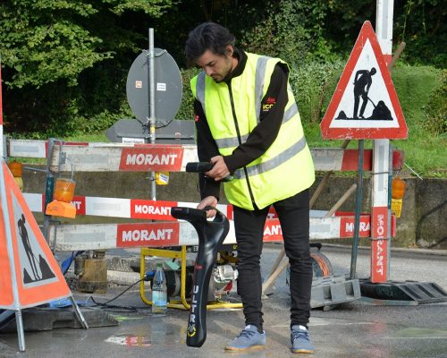
We locate and map underground pipes, cables, and infrastructure to prevent costly damage and ensure safe excavation during construction.

Site Layout & Leveling

Site Layout & Leveling

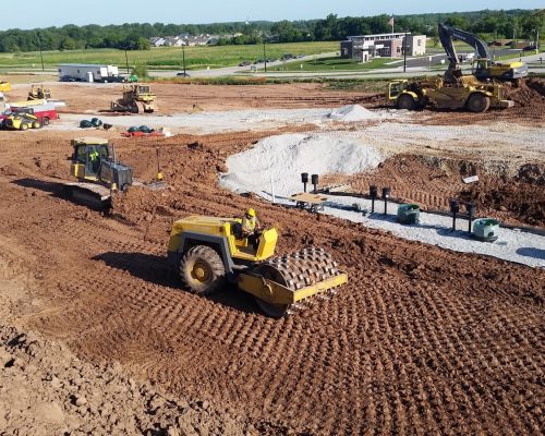
We precisely transfer architectural blueprints onto the physical ground, establishing accurate baselines, dimensions, and critical elevations for builders.

Drone Survey

Drone Survey

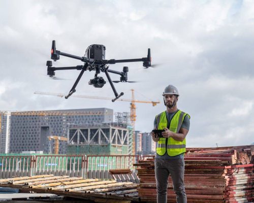
Utilizing the DJI Matrice 400, we capture high-resolution aerial imagery and topographic data across expansive, complex, or hard-to-reach project terrains.

3D Laser Scanning

3D Laser Scanning

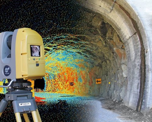
Deploying the Leica RTC360, we rapidly capture millimetric, highly accurate 3D reality data to create detailed digital twins of structures.

Manpower Services

Manpower Services

Providing qualified personnel and skilled labor to businesses for temporary projects, seasonal needs, or permanent employment positions across industries.

images (1)

Transport Services

Moving goods, freight, or passengers efficiently from one location to another using specialized commercial vehicles and reliable logistics networks.

images (2)

CCTV Camera Installation

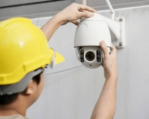
Setting up digital surveillance cameras, wiring, and monitoring systems to provide continuous security and safety oversight for properties.

Ready to Build with Absolute Certainty?

Lorem ipsum dolor sit amet, consectetur adipiscing elit. Ut elit tellus, luctus nec ullamcorper mattis, pulvinar dapibus leo.

complete work
0 k+
happy clients
0 k+
Skilled Workers
0 +
At Ground Trace Company, we combine cutting-edge surveying instruments with deep industry expertise to deliver data you can trust.

Why choose us

Advanced Technology Unmatched Precision

Our commitment to high accuracy, compliance, and efficient project timelines ensures your construction and development projects move forward safely, on time, and without unexpected underground surprises.

Recent Project

Recent Completed Projects

Our mission is simple: to deliver data you can build on. We are committed to upholding the highest industry standards of accuracy, safety, and strict regulatory compliance.

High Accuracy & Detailed Reports

Advanced Surveying Instruments

Experienced Survey Team

Timely Project Completion

Compliance with Industry Standards

Our faq

Frequently Asked Questions

Call Anytime

0596014754

email

waqas@groundtrace.com

We specialize in comprehensive land and subsurface surveying, including Topographic Surveys, Ground Penetrating Radar (GPR), Utility Detection & Mapping, As-Built Surveys, Site Layout & Leveling, and Subsurface Investigation.
GPR is a non-destructive geophysical method that uses radar pulses to image the subsurface. We use it to safely locate buried utilities, concrete voids, and hidden structures without any digging or damage to the site.
Ground Trace Company is based in and primarily services the Eastern Region of Saudi Arabia, catering to construction, infrastructure, and municipal development projects across the area.
We utilize state-of-the-art, industry-leading equipment to ensure maximum data accuracy. Our fleet includes the DJI Matrice 400 Enterprise Drone for aerial mapping, the Leica RTC360 3D Laser Scanner, and the CHC i93 GNSS RTK Receiver.
Our projects are managed by an experienced survey team and led by a professional Geophysicist/Survey Manager. We combine advanced instrumentation with strict quality control to deliver high-accuracy, industry-compliant reports you can build on safely.

Our testimonials

Trusted by Clients, Proven by Results.

"Ground Trace delivered exceptionally accurate GPR mapping for our Dubai project. Their advanced equipment saved us weeks of unexpected delays."
Tariq Al-Mansoori Happy Client

"Highly professional survey team. The 3D laser scanning data was flawless, ensuring our infrastructure design met every local compliance standard."

Amna Al-Hashimi Happy Client

"Excellent utility detection services. They mapped our site precisely, preventing costly damages and keeping our construction timeline completely on track."

Zayed Al-Suwaidi Happy Client

"Their drone topographic survey provided incredibly detailed terrain reports. A dependable team delivering true precision and outstanding corporate customer service."

Fatima Al-Marzooqi Happy Client

"Outstanding subsurface investigation work. The geophysicist reports were thorough, accurate, and essential for our major project’s foundation engineering design."

Faisal Al-Nahyan Happy Client