From the surface to the subsurface, Ground Trace Company provides a comprehensive suite of surveying solutions.
Topographic Surveys
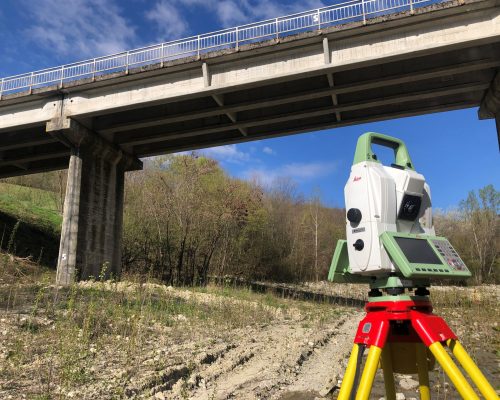
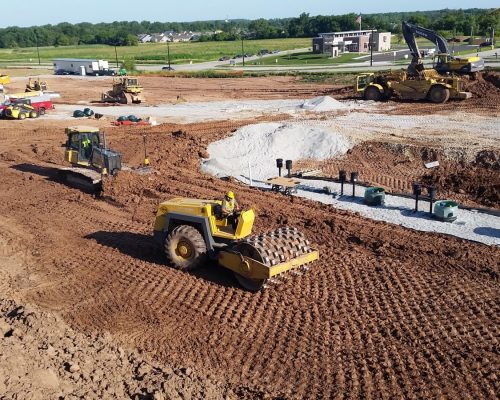
We map land features, elevations, and contours, providing essential terrain data required for accurate site planning and civil engineering design.
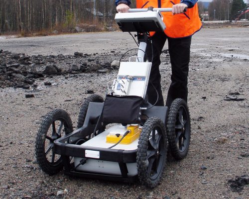
Ground Penetrating Radar
Utilizing advanced radar pulses, we safely image the subsurface to locate buried structures, concrete voids, and hidden geological features.
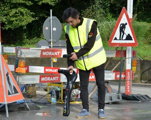
Utility Detection & Mapping
We locate and map underground pipes, cables, and infrastructure to prevent costly damage and ensure safe excavation during construction.
Site Layout & Leveling
We precisely transfer architectural blueprints onto the physical ground, establishing accurate baselines, dimensions, and critical elevations for builders.
Drone Survey
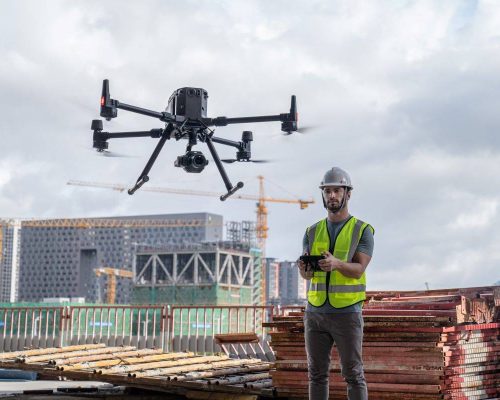
Utilizing the DJI Matrice 400, we capture high-resolution aerial imagery and topographic data across expansive, complex, or hard-to-reach project terrains.
3D Laser Scanning
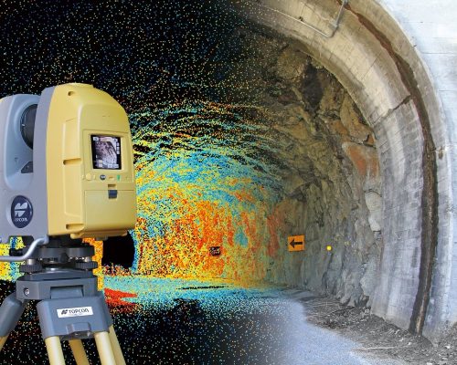
Deploying the Leica RTC360, we rapidly capture millimetric, highly accurate 3D reality data to create detailed digital twins of structures.
Manpower Services
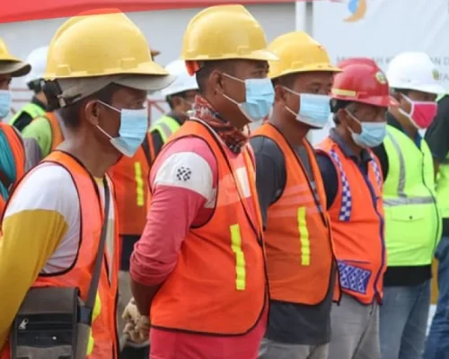
Providing qualified personnel and skilled labor to businesses for temporary projects, seasonal needs, or permanent employment positions across industries.
Transport Services
Moving goods, freight, or passengers efficiently from one location to another using specialized commercial vehicles and reliable logistics networks.
CCTV Camera Installation
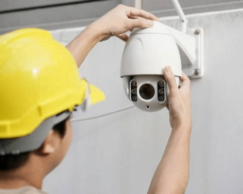
Setting up digital surveillance cameras, wiring, and monitoring systems to provide continuous security and safety oversight for properties.
Skilled Workers
0+
At Ground Trace Company, we combine cutting-edge surveying instruments with deep industry expertise to deliver data you can trust.
Why choose us
Advanced Technology Unmatched Precision
Our commitment to high accuracy, compliance, and efficient project timelines ensures your construction and development projects move forward safely, on time, and without unexpected underground surprises.